
Aerial Data to Support Environmental and Groundwater Projects
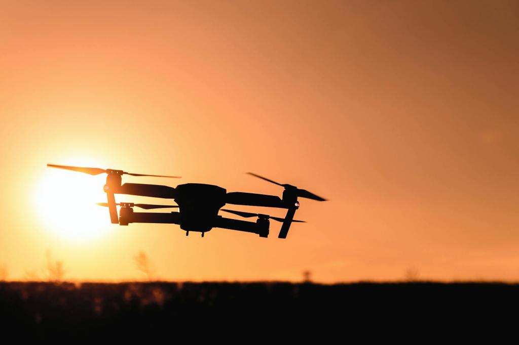
Highland Geosciences uses drone technology as a supporting tool for environmental, groundwater, agricultural, and site evaluation projects. Drone imagery can help document existing conditions, observe site changes, support reporting, and provide visual context for project planning and decision-making.
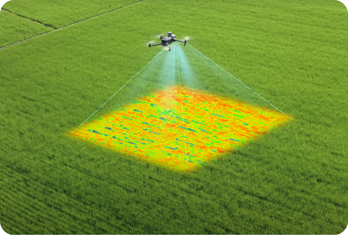
Agricultural & Land Evaluation Support
Aerial imagery can assist with evaluating agricultural land and site conditions by providing a broader view of field layout, drainage patterns, and land use. Drone imagery can support observations related to crop areas, surface water movement, and general site conditions, helping inform agricultural planning and land management decisions.
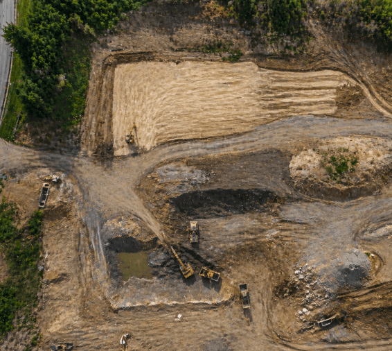
Site Documentation
Aerial photos and video provide a clear and efficient way to document existing site conditions. Drone imagery can capture overall site layout, access points, drainage features, land use, and surrounding conditions from a broader perspective than traditional ground-based methods. These visuals can help project teams better understand site characteristics, improve communication, and establish a comprehensive record of existing conditions.
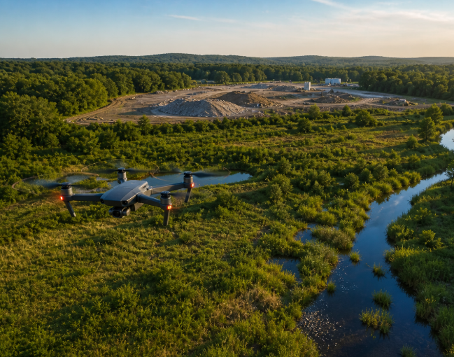
Environmental Project Support
Drone imagery can support environmental investigations and groundwater-related projects by providing valuable site context and visual documentation. Aerial views can help identify surface features, drainage pathways, and areas of potential impact. This information can support environmental evaluations, groundwater assessments, and project decision-making by providing a clearer understanding of site conditions.
Safety & Compliance Assurance: Rest easy knowing that our FAA-certified drone pilots adhere to the highest safety standards and comply with all federal, state, and local regulations. With Highland Geosciences, you can trust that your project is in capable hands, prioritizing public safety and environmental stewardship.

Need aerial imagery to support a project?
